There are many profiling systems and locating systems developed in the market for recording and interpretation of Datas, although there are many failures due to recording error or due to interpretation error and sometimes based on noise data collection.
Keeping this in mind the Max integrated developers worked planning a strategy to develop the integrated Geophysical system, which can bring down the overhead costs of the customer and also can help in next stage analysis by estimating maximum subsurface factors for selecting the target for drill.
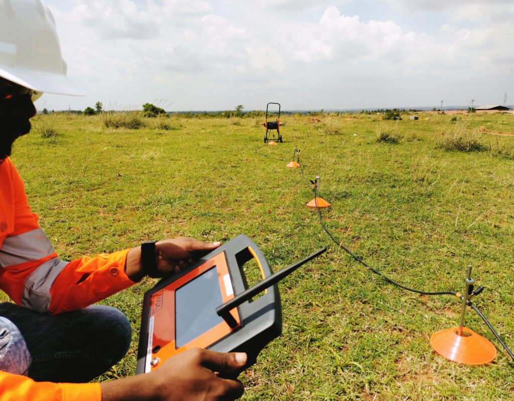
In a profiling system although we measure the resistance of each layer and compare that with every next station to form a profile map, which gives a fair idea about subsurface, we will not have a characterized structure data about its capacitance to estimate the flow potential, rock nature, its rigidity and change in salinity levels which was a big disappointment in selecting the actual targets as per requirement.
By the integrated technique maximum complexities are solved and customer requirements are satisfied to the highest phase of accurate data collection.